NOTE: This is a physical flyer/poster that I picked up at a grocery stores in Raleigh, NC from WDVT News Channel 11 ahead of Hurricane Season in 1996. I have scanned it in to text, image (compressed here) & PDF at 600 dpi. It contained a tracking map that unfolded as a poster, that allowed users to physically plot the locations and tracks of hurricanes, as most people did not have access to the Internet in 1996.
The 1996 hurricane season turned out to be a record for the Carolinas, with 4 landfalling storms including Hurricane Bertha and Hurricane Fran.


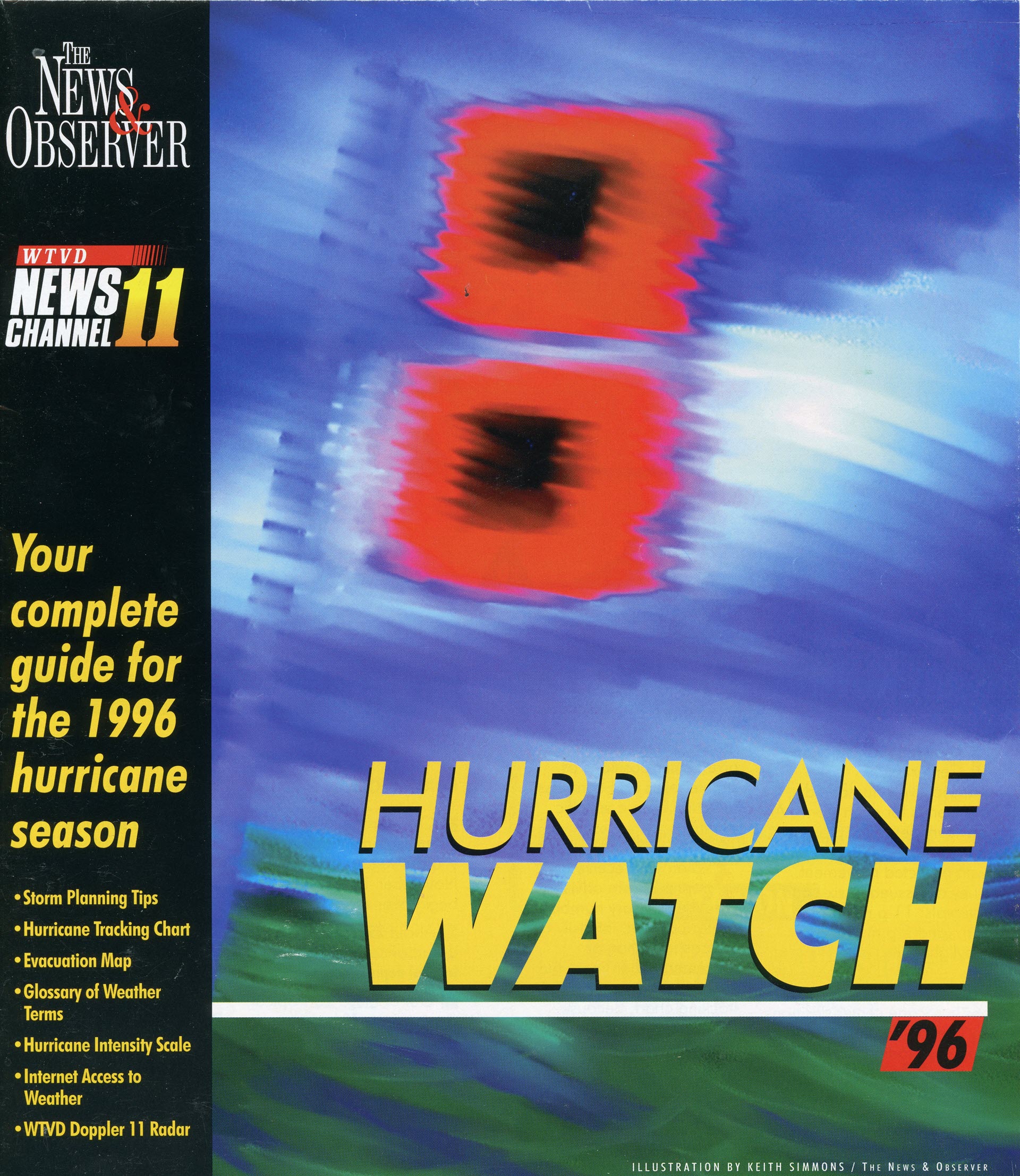
The text reads as follows:
HURRICANE WATCH `96

THE NEWS & OBSERVER

WTVD NEWS CHANNEL 11

Your complete guide for the 1996 hurricane season
• Storm Planning Tips
• Hurricane Tracking Chart
• Evacuation Map
• Glossary of Weather Terms
• Hurricane Intensity Scale
• Internet Access to Weather
• WTVD Doppler 11 Radar


HURRICANE PLANNING GUIDE
How you fare during a hurricane can depend on how prepared you are for it. The key to survival is preparation.

When the storm is forecast
·	Learn the evacuation route. If you live in a mobile home, plan to evacuate.
·	Check with your insurance company to see what will be covered. Separate policies are needed for wind and flood damage.
·	Take a full inventory of your personal property to help in filling out claims. List descriptions and take pictures.

When the storm threatens
·	Check supplies and make sure you have on hand: portable radio with fresh batteries, flashlight, candles or lamps, matches, first aid kit, canned or packaged food that can be prepared without cooking
or refrigeration, several days' supply of drinking water (one quart per person per day) and a full tank of gas in your car.
·	Watch television and listen to the radio for hurricane position, intensity and expected landfall. Also, check with CityLine and NandO for the latest information (see back page).
·	Prepare for high winds by boarding up or taping windows and other glass, anchoring objects outside, bracing garage doors and lowering antennas.
·	Move boats and trailers close to the house and check mooring lines of boats in the water.
·	Put important papers in waterproof containers (take them along if you evacuate) and move all valuables to higher levels in your home.

When the storm hits
·	Stay indoors in an inside room away from doors and windows. Don't go out in the brief calm during the eye of the storm.
·	Keep television and radio tuned for information from official sources.
·	If you evacuate, take blankets, first aid supplies and other essential items to the nearest shelter. Don't travel farther than necessary. Before you leave, turn off gas, water and electricity.

After the storm has passed
·	Beware of loose or dangling power lines, and report them immediately.
·	Walk or drive cautiously. Watch out for debris-filled streets and weakened bridges. Snakes and insects may be a problem.
·	Guard against spoiled food.
·	Use your emergency water supply or boil water before drinking until local officials say the water supply is safe. Report broken sewer or water mains.
I Make temporary repairs to protect property from further damage or looting. Beware of unscrupulous contractors who may show up.
·	Notify your insurance agent or broker of any losses.


Experience.
Working for you

When hurricanes threaten North Carolina, Dan Henry, Bill Reh and Chris Hohmann (from left) put their many years of experience to work for you. Every member of the NewsChannel 1 1 Storm Team is a full-fledged, certified meteorologist. The NewsChannel 11 team doesn't just monitor storms from the Accu-Weather Center, either. They go and report directly from the coast, giving you a trained meteorologist's perspective from the eye of the storm.

Live, hourly coverage
At the first threat to the North Carolina coast, the NewsChannel 1 1 Storm Team mobilizes for action. Every hour on the hour, WTVD will provide live updates on a storm. As the threat increases, our live coverage will expand to provide North Carolina residents the most comprehensive storm coverage available on television. For live reporting at its best this hurricane season, track the storms with WTVD, NewsChannel 1 1.
When hurricanes strike, the NewsChannel 11 Storm Team brings you live reports from the coast.

Doppler 11 radar
Doppler 11 radar is a powerful way to predict the destructive power of storms in our area. Using data supplied from the National Weather Service, Doppler 1 1 has proved invaluable in tracking severe storms across North Carolina. The key advantage Doppler 11 offers is its ability to detect the speed and direction of winds in a storm. Armed with this new data, NewsChannel 1 1 can give much earlier warnings about impending severe weather.

Storm team
Led by Jerry Allegood, Sarah Avery, Shannon Buggs, Sheon Ladson, Todd Richissin and Bob Williams, the Pulitzer Prize-winning staff of the News & Observer will provide on-the-scene coverage of hurricanes and tropical storms threatening the North Carolina coast. From Sunset Beach to Corolla, the N&O will have the stories, photos and graphics that readers need to weather the storm. The N&O was there when Hazel tore up the southern coast in 1 954, when Hugo roared through Charlotte in 1989 and when Felix loitered off the Outer Banks for days last August. Should 1996 bring another monster from the Atlantic, look to the News & Observer for the most comprehensive coverage anywhere.

Cityline
Dial CityLine for the latest information on hurricanes and tropical storms. To hear national Hurricane Hotline reports any time, dial 549-5100 on a touch tone phone and enter category 7876. When a storm threatens the state, CityLine will offer updated local reports from NewsChannel 11 on category 7500. These are free calls, except where long-distance rates apply.

NANDONET
Internet users can turn to the News & Observer on the Web for detailed weather information including photos, maps, the latest hurricane and storm advisories, and updated reports on hurricane movements. Find it on the World Wide Web at http://www.nando.net/nao/

PAUL MAGANN / The News & Observer
The News & Observer storm team includes many staff members from our state, metro, photography and news graphic departments, including (from left to right) Gene Furr, Rob Waters, Jerry Allegood, Jim Bounds, Sheon Ladson, Stewart Leavenworth, Ken Mowry, Charles Apple, Sarah Avery, Bob Williams and Shannon Buggs.


TRACKING A HURRICANE

HURRICANE FACTS
The National Hurricane Center issues consecutively numbered advisories for each storm. An advisory describes present location and condition, along with expected movement. They are issued in six-hour intervals: 11 p.m., 5 a.m., 11 a.m. and 5 p.m. Eastern Daylight Time.
The Weather Service gives
hurricane center positions
by latitude (for example 13.5
degrees North) and longitude
(for example 55.0 degrees
West). Latitude lines go
North-South and longitude
lines go East-West. When the
storm moves within range of
radars, the service also may give
center positions as statute miles
and compass direction from a specific
When you receive a
tropical storm advisory,
note the advisory number,
center position, intensity and
forecast direction of
movement. Then mark the
center position on the
tracking chart. Because
hurricanes can change
direction very quickly, you
should listen more carefully to
where the storm will go than
where it has been.

Where do hurricanes come from?
■ On average, 100 tropical disturbances develop each year between May and November. Half of these begin over Africa.
■ About 25 of these disturbances develop into tropical depressions.
■ Out of these 25 tropical depressions, 10 become tropical storms.
■ Out of these remaining 1 0 storms, only 6 become hurricanes.

American hurricane history
■ DEADILEST hurricane:
Galveston Island, Texas, 1 900. Killed more than 6,000 people. The worst natural disaster in U.S.
■ STRONGEST hurricane: Florida Keys, 1935. 500 people killed.
■ COSTLIEST hurricane: Hurricane Andrew, August 1992. It was also the third strongest storm to hit the United States.


GLOSSARY OF TERMS
Tropical disturbance
A moving of clouds and thunderstorms in the tropics that maintains its identity for 24 hours or more.
Tropical depression
An organized system of clouds and thunderstorms with a defined circulation and sustained winds of 38 mph or less.
Tropical storm
An organized system of strong thunderstorms with a defined circulation and sustained winds of 39-73
Hurricane
An intense tropical weather system with a well-defined circulation and sustained winds of 74 mph or greater.
Hurricane watch
A hurricane may threaten within 36 hours.
·	Be prepared.to take action if a warning is issued by the National Weather Service.
·	Keep informed of the storm's progress.
Hurricane warning
A hurricane is expected to strike within 24 hours.
·	Leave beachfront and low- lying areas.
·	Leave mobile homes for more substantial shelter.
·	Stay in your home if it is sturdy, on high ground and not near the beach, but if asked to leave by authorities, GO!
Flash flood warning
A flash flood is imminent; take immediate action. Flooding conditions with little or no warning. Storm surge and rains associated with a hurricane may cause conditions favorable for flooding.

1996
STORM NAMES
Arthur
Bertha
Cesar
Dolly
Edouard
Fran
Gustav
Hortenese
Isidore
Josephine
Klaus
Marco
Nana
Paloma
Sally
Vicky
Wilfred